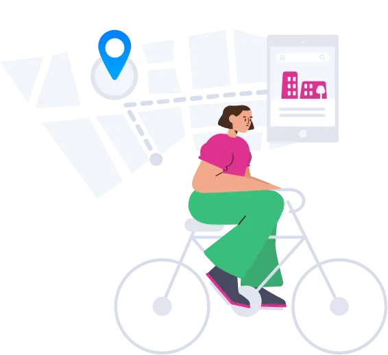
NaRover: Social Navigation App For Cyclists
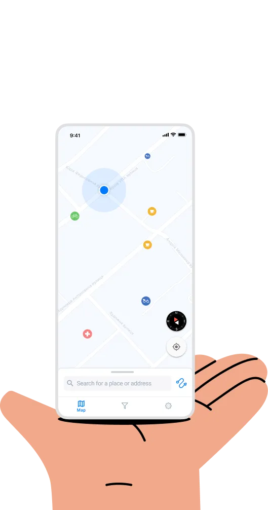
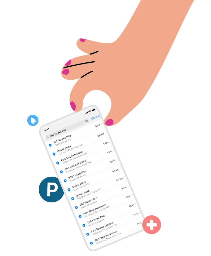
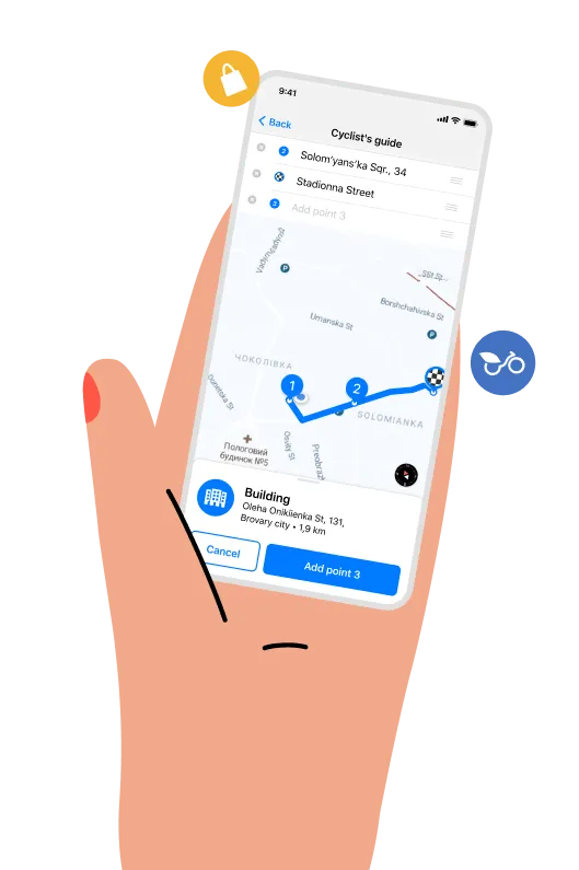
In cooperation with cycling activists, NGOs, communities and businesses, Waverley initiated the development of a location-based application allowing to track and navigate cycling infrastructures in multiple cities. The team created a native iOS (Swift and UI Kit) and Android (Kotlin) app that locates cycling lanes, bicycle parking, bike shops and rentals, even cyclists favorite coffee shops and breweries, parking spots, etc. The app utilizes Mapbox services for location production, and Firebase for back-end services. The application code is owned by Waverley Software, and can be easily scaled and reproduced if needed.